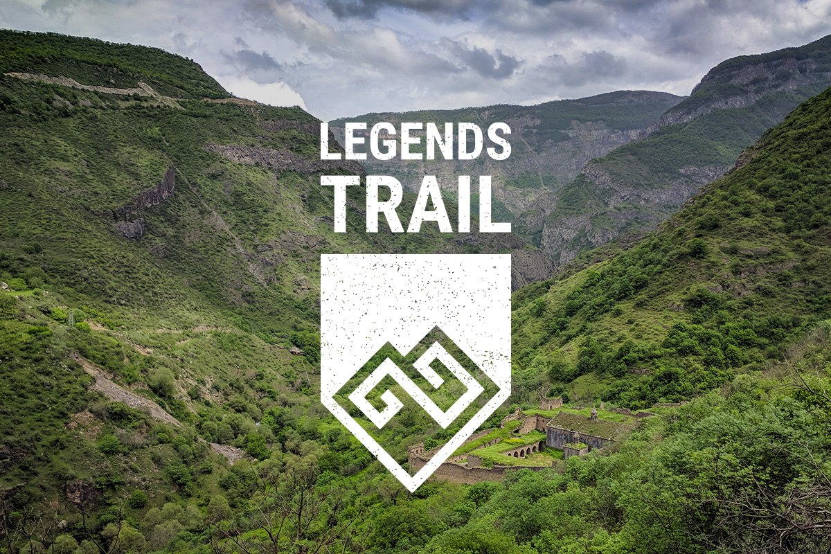
Goris to Kapan
Goris to Kapan
Things to see


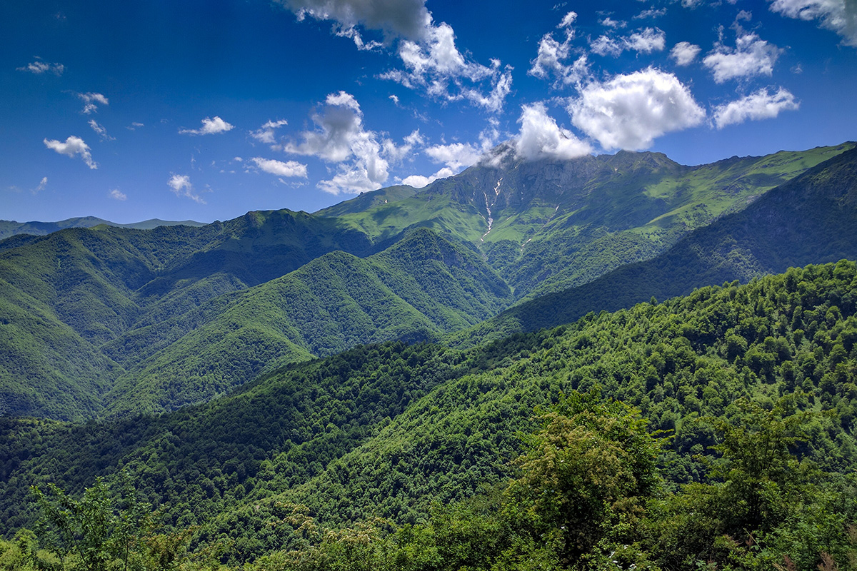


Not for the faint of heart, this 15-day hike (including a rest day) through 150 KM of Syunik Province takes hikers through rugged mountains and past ancient monasteries along old Silk Road footpaths. The trail kicks off from Goris and ends in Kapan – two towns of both historical and cultural significance. While the trail can be done all together, each section can also be done on its own as a day-hike. So if you'd rather not take on the whole thing at once, don't worry – each stage will be added individually.
You can find further information and stay up to date with official announcements by following The Legends Trail Instagram and Facebook pages. If you’d like to purchase the physical guidebook in preparation for your journey, you can buy one at the HIKEArmenia office or order online.
Day 1: Old Bells of Goris - Goris
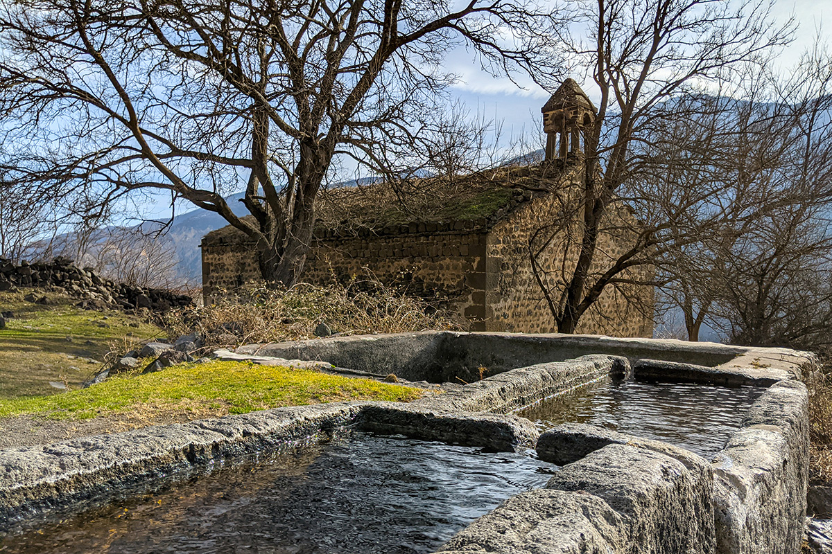
Starting in Goris, this hiking odyssey gets hikers warmed up with a short, easy hike from the Bells of Goris monument to the town of Goris. The newly rebuilt monument made of porous volcanic stones rests atop a hill to the east of the city and offers breathtaking views of Goris and the surrounding mountains. Following the ridge south and then descending down narrow footpaths past the ancient cave dwellings of Old Goris, you will enter the town through a large cemetery and arrive at the central square.
Day 2: Goris to Karahunj to Khot
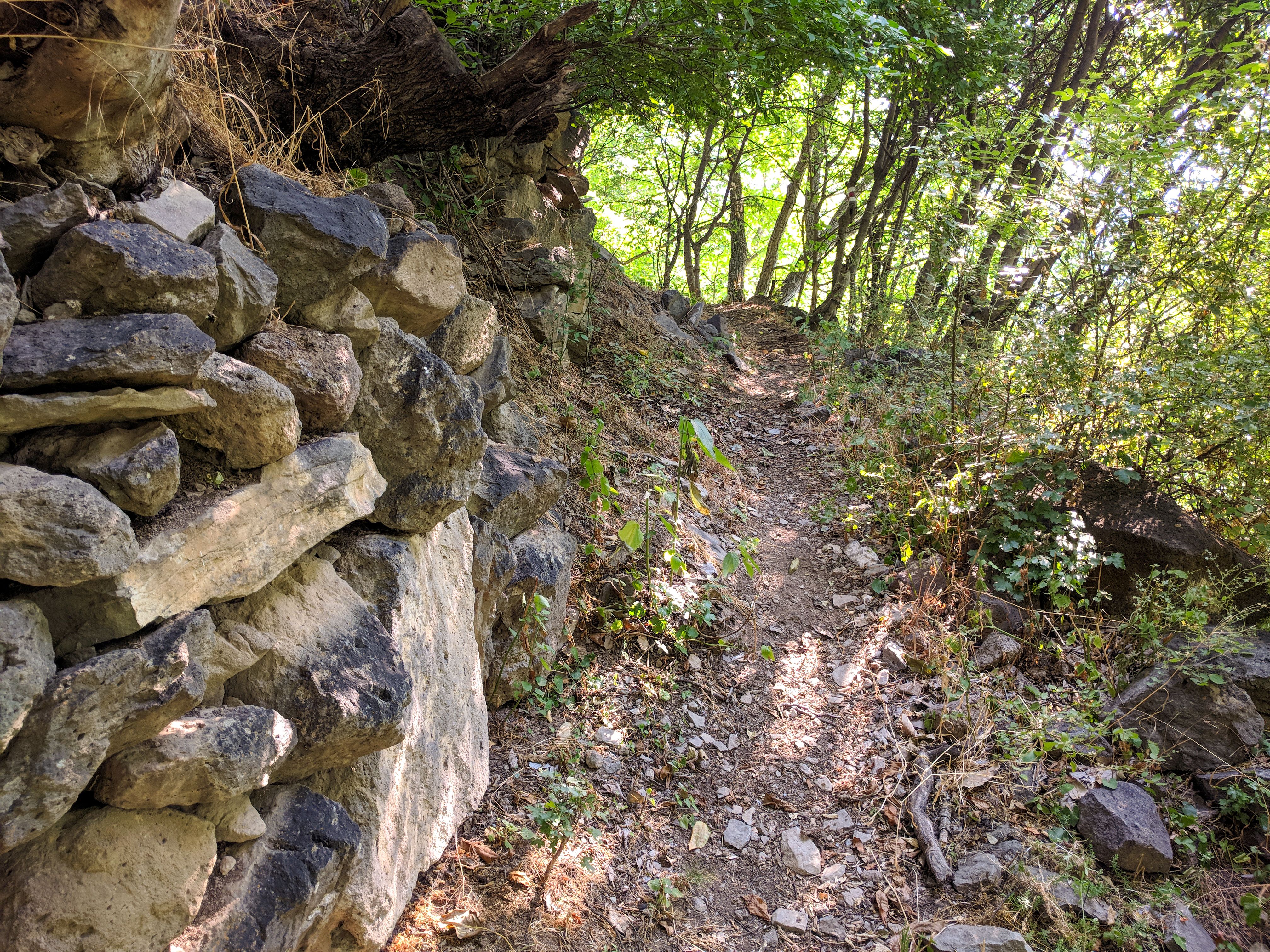
The second day of this trail starts in Goris and goes through Karahunj village to Khot. From the town center, follow Syunik Street south until you reach the junction with the old road to Shinuhayr (H-46). Walk up a steep hill, take a left, where you’ll see a trailhead. Walk along the residential backstreets, which will soon turn into a grassy path. Head into the forest along historica paths where you’ll see the remains of stone walls and irrigation channels. Continue to follow the path, which goes through the forest, into the valley, and down to the river before entering a meadow just before reaching the village of old Karahunj.
From the village center, you’ll continue towards the river (passing St. Hripsime Church along the way) and use a bridge to cross. Follow the 4x4 track up past caves at the base of a cliff and make the climb up the hillside, which offers spectacular views of Karahunj as well as Goris and the Vararak valley. After passing an abandoned pumping station, you’ll enter the Vorotan gorge and then enter the Vorotan Canyon. From there, make your way up the zig-zagging path to Khot village. Take a 4x4 2 km to Shinuhayr to spend the night before embarking on Day 3.
Day 3: Khot to Old Khot to Old Shinuhayr to Old Halidzor to Halidzor
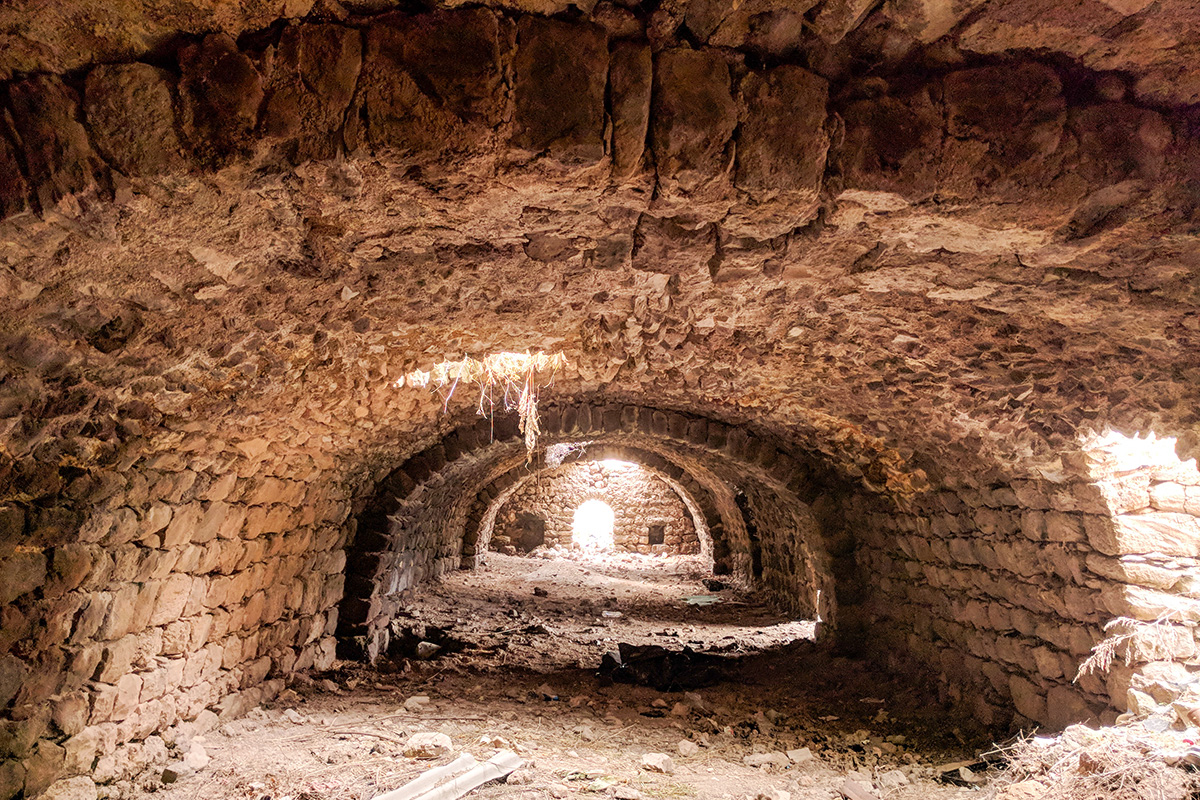
From Khot, head south then south-east onto a dirt track, which you’ll see after you pass the memorial. After passing the remnants of some Soviet-era farm buildings scattered along the clifftop, you’ll notice a zig-zagging road descending into the gorge below that locals often use by foot or on horseback. From here, the marked trail follows footpaths that take you past the remaining old buildings of Vorotan Canyon’s old villages and into Old Khot. Here there is no clean drinking water, so make sure you either bring a bottle or purify water from the nearby Khot River.
From Old Khot, head west past the river and continue towards historic Old Shinuhayr village, weaving through some impressive rock formations and passing under a waterfall along the way. From Old Shinuhayr, you can either hike up to the modern village of Shinuhayr or continue to the next destination, Old Halidzor. Watch out for overgrowth in the summer and flooding in the spring along this route – it can get tricky to navigate!
As you leave Old Shinuhayr, follow a rocky road down and alongside the gorge. About half-way down, you’ll notice that the 4x4 track descends downward to the bottom of the gorge, but you should take the trail that goes uphill before the first bend so that you stick to the route. You’ll pass a flat area at the hilltop where you can admire some old khachkars. From here, head towards the lower, eastern part of Old Halidzor where the trail joins another 4x4 track. Walk uphill for a short while on this track toward the upper part of the village. From this junction, you can either continue on the Legends Trail through the Old Halidzor ruins or take another 4x4 track to Halidzor, where you can spend the night.
Day 4: Halidzor to Old Halidzor to Great Hermitage of Tatev to Tatev
Take the same 4x4 track back to Old Halidzor. From the Church of St. Minas, follow the trail through narrow streets as it descends towards the southwest part of the village and a rocky ridge. Follow a footpath along the eastern side of the ridge downhill, being mindful of loose soil and rough terrain, and reach the base of the ridge. Head west, cross a stream, and pass an abandoned old farmhouse before continuing east on a dirt path that will take you to the only footbridge that crosses the Vorotan River. From here, you can choose to explore trickier trails leading to Bardzravan or the ruins of Harants Hermitage, or continue along the Legends Trail.
From the other side of the footbridge, follow the 4x4 track along the riverbank, where you’ll notice the occasional cultivated field as well as shelters used by farmers and herders and numerous irrigation canals both active and unused. After you pass the ruins of a small stone building, the track becomes a narrow trail taking you across jagged terrain with cliffs towering above. As you make your way through a narrow riverbed, admire the deep chasm to the south above you, named Harsnadzor (“Bride’s Valley” in Armenian) for the tale of a woman who jumped from the cliffs in order to avoid capture during an invasion. Soon the gorge reaches its narrowest point, and the trail hugs the cliff face so tightly that a half-tunnel has been gouged out of the rock to allow safer passage. Keep your wits about you as you continue along steep, narrow passageways through seemingly impassable, awe-inspiring rock escarpments.
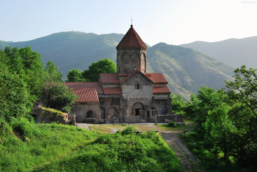
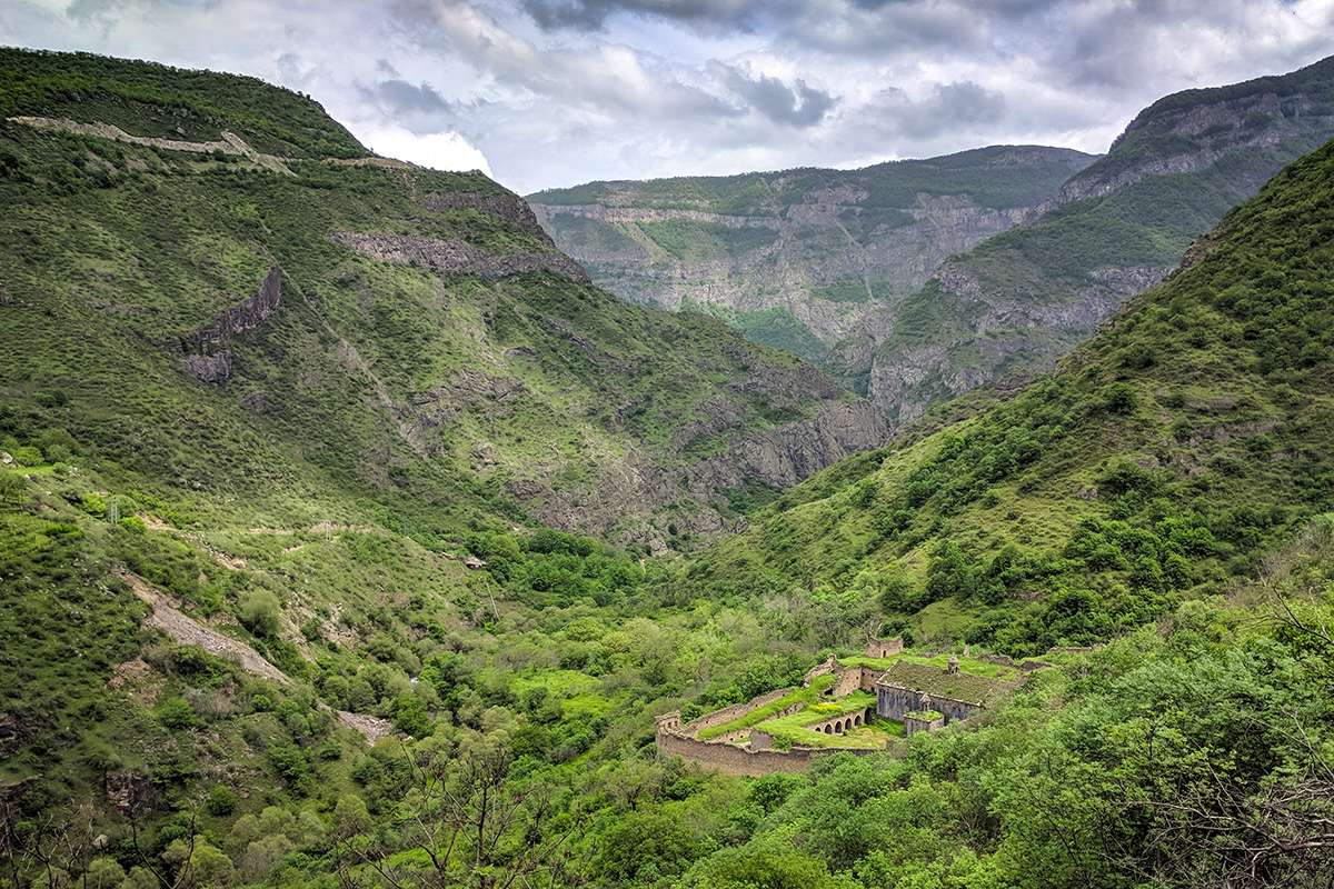
From there, the trail winds sharply up into the woods, bypassing the small nearby hydroelectric plant. Soon, you’ll see the Great Hermitage of Tatev at the base of the opposite hillside. Cross the makeshift metal footbridge at the junction of the Vorotan and the Aghandzu rivers and continue following the Vorotan upstream towards the complex. Alternatively, you can continue a bit further along the Vorotan until you reach Devil’s Bridge, a natural formation that bridges the rivers as it flows through a number of caves. Here you can go for a swim in the mineral springs or climb down into the caves and explore its pools.
From the hermitage, follow the trail signs up towards Tatev Monastery, passing various ruined structures and terraces as well as side trails leading to hidden orchards and gardens still maintained by the locals. The trail gives way to a paved road, which you’ll follow uphill for a few hundred meters before reaching the imposing Tatev Monastery complex. Here you can easily find a guesthouse for the night.
Day 5: Rest
We recommend taking the following day in Tatev to rest and explore the monastery complex. You can also take a taxi to Devil’s Bridge, have a swim, and taxi to Halidzor, from which point you can return to Tatev by the Wings of Tatev cable car – which is the longest reversible aerial tramway built in only one section and holds the record for longest non-stop double track cable car in the world.
Day 6: Tatev to Tandzatap to Bardzravan
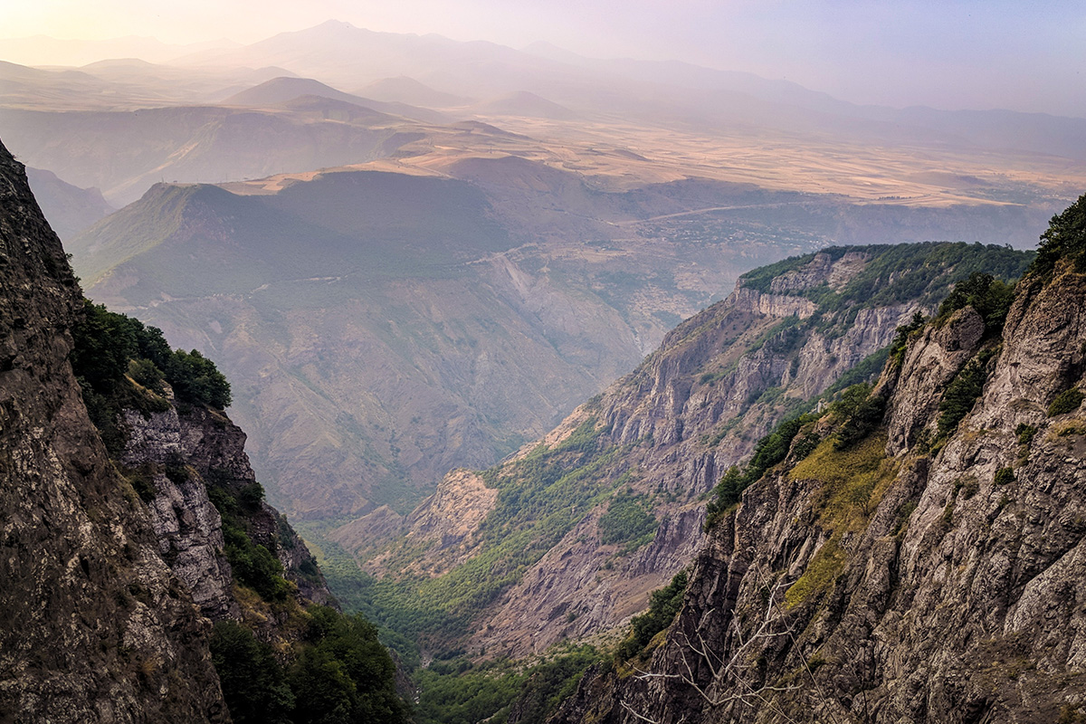
From Tatev Monastery, take the H-46 road out of Tatev and down across a river before ascending back up to the Tatev viewpoint, which offers spectacular views of the monastery. From there, the trail winds down into a woodland, passing the ruins of the 10th-century Holy Mother of God chapel, and down through sloping meadows into the Aghandzu gorge. At several points along the way, you can clearly see the little village of Tandzatap. After passing through the deepest part of the canyon – where you’ll pass a waterfall – you have just a short walk to Tandzatap.
You’ll see an information board at the first junction uphill of the village. Walk east from here, admiring the surrounding gardens and orchards. After crossing the Shvariget River, bear north and you’ll reach a fork. Take the upper fork and climb out of the wooded valley towards open fields, passing a farmhouse along the way. Pay extra attention to the trail markings here as the trail will start to bear southeast towards another mountain stream. But before you reach it, break off uphill along the footpath which will snake up to join the H-46 road. Either follow the road or take a shortcut directly uphill, rejoining the road at a mountain pass known locally as Okuzarat. From here, take the dirt road uphill and east and stop at the viewpoint at the top of Harsnadzor for some stunning views. When approaching the edge, be careful as there are no barriers and a steep plummet below.
The walking trail continues uphill – aim to stay parallel with the cliffside (at a safe distance, of course) until you reach a defined path that will take you into the forest. Eventually the trail meets up with a 4x4 track that passes some unidentified historic ruins and several khachkars. From here, follow the footpath down and across a stream nearby and into a clearing. From the several 4x4 tracks you see here, take the track heading east and follow the trail markings closely as the track narrows into a footpath. On this long and scenic stretch of the trail, be mindful of the steeper and narrower sections that pass close to the cliffs below as you approach Bardzravan. You can either camp here or take a 4x4 to Tandzaver or Tatev to sleep for the night.
Day 7: Bardzravan to Tandzaver followed by Magic Forest Trail loop
From Bardzravan, head south on the unpaved T-8-58 road connecting the village to the Goris-Kapan Highway. After passing small farm buildings and a small reservoir, take the junction south off the road and join up with the 4x4 track which winds up through the forest until it reaches the main ridge that divides the Vorotan Canyon and the Kashuni river valley where Tandzaver is situated. Pass the ridge and continue downhill and south, passing through thick forest, rolling hills, and rural valleys as you continue following the 4x4 track. Just below the small peak of Harsnablur (“Bride’s Hill” in Armenian), you’ll pass a small farmstead and a medieval church. After passing through more thick forest, the trail will take you to Tandzaver. From here, you can hike the Magic Forest Loop or continue along the Legends Trail. You can spend the night in Tandazver.
Day 8: Tandzaver to Chay-Zami Lake to Verin Khotanan
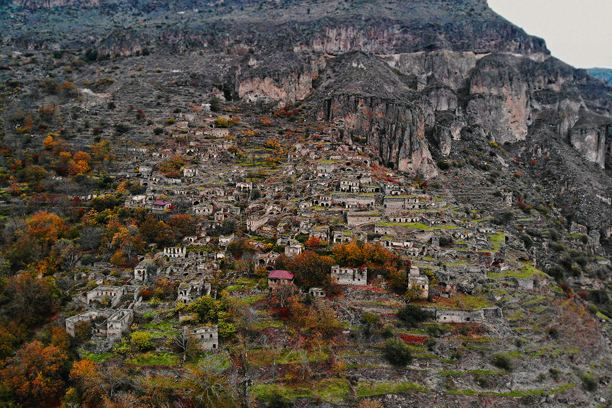
From Tandzaver, follow the H-46 road east towards Verin Khotanan. Before you hit the bridge that crosses the Kashuni River, turn east off the road and walk down a short dirt road, crossing tributaries and passing by a farmhouse along the way. Walk parallel to the river for several kilometers using a mix of animal paths and farm track fragments that sometimes cross water meadows and climb through woodland patches. When you see the H-46 start to weave up the mountainside, continue east along the Kashuni valley. Several 4x4 tracks will narrow into one, and pass through dense forest into the gorge before passing the ruined Andokaberd Fortress.
The marked trail will cross the Kashuni before reaching the remnants of the T-8-99 road by the Davit Bek Reservoir, known by locals as its old Turkish name, Chay-Zami (“field of rivers''). You’ll see the ruins of old Azeri villages before following a dirt road along the reservoir’s southern shore, then climb sharply up into the forest along a 4x4 track. You’ll then reach the disused S-8-99 dirt road, which you’ll follow until you start descending into the Khotanan valley. As the surrounding landscape gives way to pastureland, you’ll see your destination of Verin Khotanan. Continue downhill, cross the river, and climb up into the village. Before reaching Verin Khotanan, you can take a short excursion to nearby Shrvenants village. There are several homestays in Verin Khotanan – we recommend that of Anna Martirosyan (094 332470).
Day 9: Verin Khotanan to Tavrus to Okhtar to Vanek to Dzorastan to Arajadzor
This trail takes hikers from village to village as they pass through the valley below the impressive Mount Katar. Head past the school and out of Verin Khotanan by dirt road and cross the bridge at the small river below. From here, you’ll head uphill across a steep meadow and then into a forest, which will climb up until you reach the same stream you crossed earlier. Continue uphill via a historic footpath that will lead you out of the forest and onto a grassy ridge. Follow the path – running roughly parallel to the 4x4 tracks – downhill until it breaks away, taking you to the village of Tavrus.
Walk past both old, ruined homes and new ones as you make your way through and out of Tavrus along the main road. As it bends, you’ll notice a faint track that continues south along the open ridge, which you’ll follow until dropping sharply down the east side of the ridge on a seldom-used track. Continue down along a small river before entering Okhtar. The main residential road will take you through the village, turning west after passing the last house to join the T-8-59 road at the bottom of the Achanan valley. Continue along this road, then cross the Achanan River to reach Vanek village.
After stopping for a refill of naturally carbonated mineral water from the riverbank, continue up through Vanek and then along a 4x4 track. When the track flattens out, head east across the meadow and through the trees to the next stream. From here, follow a 4x4 track through the forested hillside until you reach the top of Dzorastan. Explore the village’s church and history museum, or continue on the Legends Trail through the upper part of the village before descending towards the river, which you’ll cross. Then, climb up through a series of clearnings, cross another stream, and continue along the 4x4 track as it snakes around the hillside to reach the village of Arajadzor. You can arrange lodging here, camp, or transfer to Kapan for the night.
Day 10: Arajadzor to Shgharshik
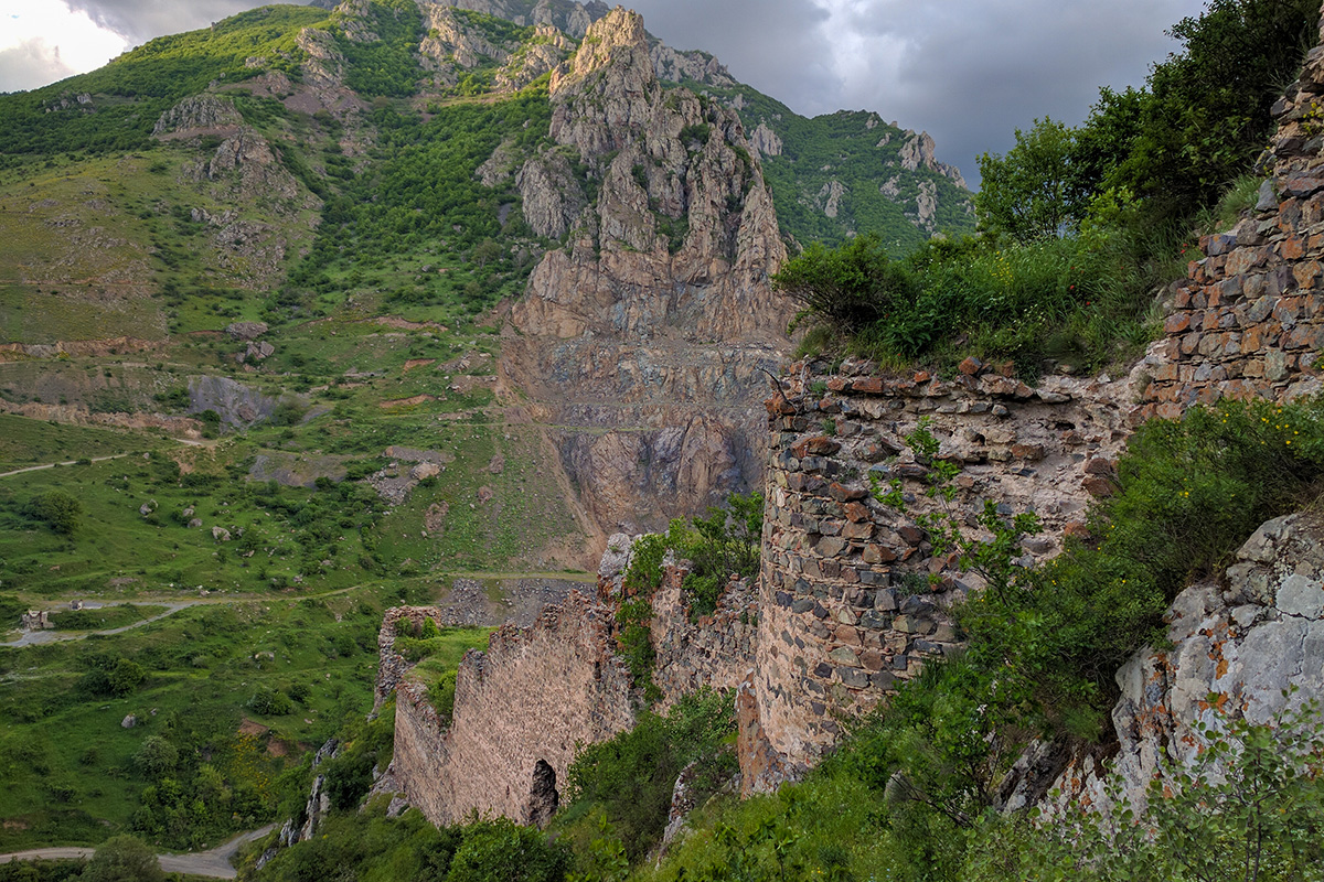
From the top of Arajadzor, follow a 4x4 track up the ridge, which starts out rather steep and eroded. The track will snake upwards before leveling out, weaving in between trees as it heads deeper into the forest and, after a few kilometers, reaches an area of hillside. Though the track continues up the ridge towards an old communications tower, you’ll follow the lower track along the hillside, which crosses a stream before entering the forest once more. Once out of the forest, you’ll find yourself on an area of the rocky hillside which leads to a flat ridgetop. Follow the ridge south until the trail drops, then make the steep and rocky descent to the upper part of Shgharshik village. From here, you can take an excursion to the ancient Baghaberd Fortress along the old road to Andokavan, or set up camp or visit the guest house in Shgharshik.
Day 11: Shgharshik to Vahanavank to Halidzor to Fortress to Bekh
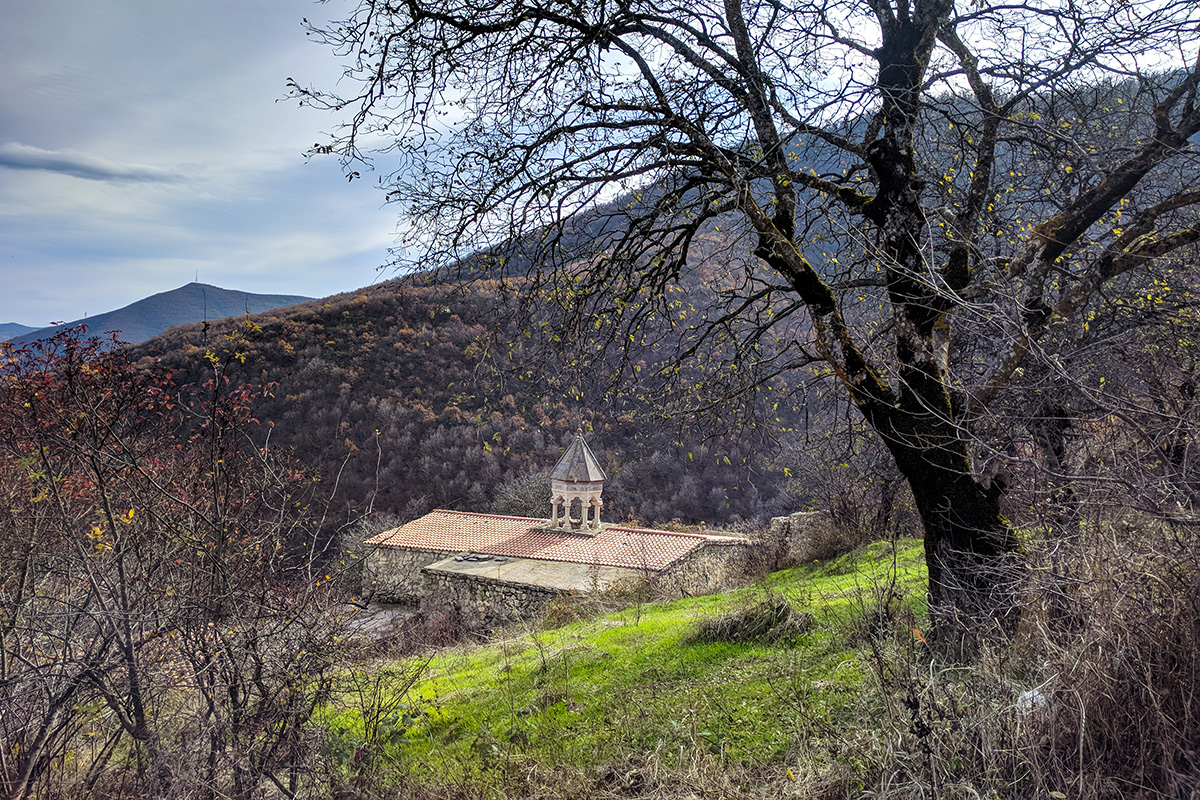
This next stretch of the Legends Trail is long but relatively straightforward. Set off down the road from Shgharshik, cross the M-2 Kapan-Kajaran highway and continue down the small road close by, which will then cross the Voghji River and climb up into the valley. As you get closer to the 10th-11th-century Vahanavank Monastery, you’ll notice a large picnic area with toilets, dumpsters, shelters, and a drinking water source – perfect for camping!
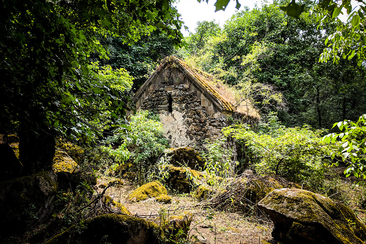
Nearby in a wooded gorge is a land art trail waiting to be explored. From the clearing above the picnic shelters, and where the land art trail ends, follow the 4x4 track into the forest. After passing a metal barrier and crossing the stream at several points, you’ll soon find yourself at a junction in a brambly thicket, at which you should bear east onto a narrow footpath that climbs the hillside. After reaching the top of a wide, flat ridge, follow the markings down the ridge’s eastern flank, which weaves northeast through both woodland and patches of pasture until you see Halidzor Fortress below.
From the fortress, break off the 4x4 track at its first bend and follow the narrow path into the valley. Soon, you’ll pass a small waterfall and head through thin woodland. When you reach the cultivated fields at the bottom of the valley, follow the path (which now becomes a 4x4 track) past forest and into grassland, with the village of Bekh just up the hillside. You can stay at Mount Khustup B&B for the night.
Day 12: Bekh to Bekh Hermitage to Verin Vachagan to Baghaburj
Head along the road through Bekh, then take the footpath down into the valley west of the ridge, passing memorial stones and sculptures. Cross a stream, then climb sharply northwest up the opposite ridge along a tangle of trails into forestland. You’ll cross another small stream before you reach the Hermitage of Bekh. From the complex, continue along the trail up the forested hillside, zig-zagging up before heading south and crossing more streams, eventually leaving the tree cover for a long, narrow, downward-sloping ridge. Head downhill and east through thorns and hillsides until you reach the 4x4 track that will take you to the village of Verin Vachagan.
From the uppermost part of the village, follow residential roads and footpaths as you weave your way downhill to the village bottom. Continue down beyond the road on steep trails flanked by gardens to the path that runs parallel to the Vachagan River and follow it until you reach the bridge. After crossing, continue north on another path running parallel to the river’s opposite bank. Along this part of the trail, you’ll see several land art installations and pass by a rest spot complete with a swing-set and picnic facilities. Soon after, the path veers away from the river and up into sparse woodland, becoming a 4x4 track. Follow the track to reach the village of Baghaburj. Note that this is the last road access point before the long trip to the summit of Mount Khustup, which will take 2 days. From here, you can take a taxi or walk to Kapan to stay the night and gather supplies.
Day 13: Baghaburj to Storot
On this day, you’ll see the summit of Mount Khustup draw closer and closer, but you’re not there just yet! Follow the 4x4 track up out of Baghaburj and along the ridge, dipping in and out of dense woodland. Though this track can get muddy, it’s well-used and easy to follow. Just above the treeline on the south-facing hillside below the ridge sits the seasonal farming hamlet of Storot, which means either “foot” or “base” in Armenian. From here, there are several trails leading to more remote farms, but you’ll instead head up through Storot until you reach a flat area on the edge shoulder, just above the highest cottage and near a drinking water source. Storot is the closest off-road vehicle access point from Kapan to Mount Khustup’s summit, and thus serves as a basecamp for those hikers wishing to hike up to the summit in a day.
Day 14: Storot to Mount Khustup to Storot
The final stretch of the Legends Trail takes hikers up to Mount Khustup’s summit and back to Storot. Though the path is relatively easy to follow, pay close attention to navigation if visibility is low as you can get seriously lost in the fog. Exposure to the elements as well as an oftentimes inhospitable terrain and the steep nature of the path all make for a challenging hike. But with preparation and motivation, this last trek should be both enjoyable and visually rewarding.
The first half of the climb continues along the same ridge used to reach Storot, just on a narrower path. You’ll pass through rock formations before reaching a spring, at which point the trail grows steeper and steeper. You’ll soon notice that here above the tree-line, the environment shifts towards treeless meadows characteristic of high-alpine steppes. A second spring can be found about 50 meters south of the trail, before you reach the main ridge south of the summit. As you reach the main ridge, you’ll see a 4x4 track coming from the village of Shishkert. Climb north up the ridge to the peak base. To reach the very top of the mountain, you’ll have to scramble, quite literally, up the jagged rocks.
If you’d rather head to Shishkert instead of retracing your steps back down to Kapan, descend the ridge south and follow the 4x4 track you saw earlier 10km down. Keep in mind though that the village has no services and is a 50km trip back to Kapan.
. . . . . . .
We hope you enjoyed this challenging but fun odyssey through Syunik Province! The Legends Trail was created as part of the EU-funded "EU4Tourism: Outdoor adventures on the historic trails in Syunik " project, implemented by People in Need in partnership with Armenian non-governmental organizations ARK Ecological and Trails for Change (TFC). Stay tuned for new hiking routes heading all the way to Meghri by visiting the Transcaucasian Trail website. For more information on what to do in Kapan, check out Visit Kapan.